
The River Monnow at Skenfrith
Latest River Monnow levels at Skenfrith, how they have changed, and links to the official flood warnings for Skenfrith and Monmouth. The page refreshes itself every two minutes.
Loading the latest reading…
Gauge height, not water depth
For comparison: 5.08 m in Storm Claudia on 14 November 2025, when Monmouth flooded · 4.84 m on 26 October 2019
A river level doesn’t tell you whether the water, riverside paths or roads are safe. Check the official warnings above, and read our notes on enjoying the river safely.
The Monnow (Afon Mynwy) runs past the bottom of our meadow on its way from the Black Mountains to the Wye at Monmouth. Most of the year it is a clear, gentle river, but after heavy rain on the hills it can rise by several metres in a day. In November 2025 Storm Claudia took the Skenfrith gauge above five metres and flooded Monmouth. This page brings together the official readings so you can see what the river has been doing; and what it is doing now.
River Monnow levels at Skenfrith
Choose a view. The shaded band is the gauge’s usual range over the past twelve months; the dashed purple lines are the highest levels the gauge has reached, for comparison. Choose “Zoom in” to see small changes more clearly.
Gauge height in metres, measured from the gauge’s own zero point. For the full official record, see the Skenfrith gauge on the NRW website.
How the rivers connect
Rain falls on the Black Mountains first, so the gauges upstream often rise before Skenfrith and Monmouth.
Schematic diagram, not to scale. The River Honddu (gauge at Tafalog) and the River Dore (gauge at Peterchurch) join the Monnow above Grosmont. The Monnow flows past the Grosmont and Skenfrith gauges and Ruthlin, then the Monnow Gate gauge in Monmouth, where it joins the River Wye, which has gauges at Monmouth and Redbrook. Current readings are listed below.
Schematic, not to scale. Each gauge is coloured by comparing it with its own readings over the past twelve months. The bar beside each gauge uses that gauge’s own scale, from the bottom of its usual range to its highest reading of the past year, so equal bars don’t mean equal levels or equal risk.
River levels up and down the valley
The latest reading and the last 48 hours at each gauge, from Tafalog on the Honddu to the River Wye at Monmouth and Redbrook. Each gauge measures from its own zero point, so compare it with its own usual range rather than with its neighbours.
Flood warnings, weather and tides
Enjoying the river safely
Swimming and paddling in the Monnow is one of the joys of a summer stay, but rivers are never completely safe.
Stay out of fast or high water
Don’t go in when the river is high, fast-flowing or coloured, or during or after heavy rain. Conditions can change quickly, even when the gauge is within its usual range.
It is colder than you think
Cold water can cause an involuntary gasp, rapid breathing and loss of muscle control. Even strong swimmers get into difficulty, so get in slowly.
Keep children within reach
There are no lifeguards. Keep children within close reach whenever they are in or beside the water.
If you fall in, Float to Live
Tilt your head back with your ears under the water, relax and control your breathing, and use your hands and legs to stay afloat until you can call for help or swim to safety. RNLI advice.
If someone is in difficulty
Call 999 and ask for the Fire and Rescue Service. Don’t go in after them. Shout to them to float, and throw them something that floats if you can do so safely.
Never enter flood water
Follow official flood advice. Never walk, swim or drive through flood water: a little fast-moving water can knock you over or float a car.
River Monnow levels and flooding: common questions
Is Skenfrith flooding today?
The panel at the top of this page shows whether Natural Resources Wales has a flood alert or warning in force for the River Monnow at Skenfrith. For the official position, check NRW’s flood warning service, which runs 24 hours a day.
What is a normal level for the Monnow at Skenfrith?
Over the past year the Skenfrith gauge has usually read between 0 and 1.73 m. In a dry summer it can fall close to zero, and after heavy rain on the Black Mountains it can rise by several metres in a day.
What is the highest the river has been at Skenfrith?
The highest reading in NRW’s published data is 5.08 m, during Storm Claudia on 14 November 2025, when Monmouth flooded. NRW’s gauge page lists 4.84 m, on 26 October 2019, as the highest recorded level.
Where can I see river levels for Monmouth and the River Wye?
The Monnow Gate gauge in Monmouth and the River Wye gauges at Monmouth and Redbrook are shown above, with the last 48 hours at each. The full official record for every gauge is on NRW’s river levels website.
About this page and its limitations
This page brings together river-level readings and official flood-warning information from Natural Resources Wales and the Environment Agency, for general information. It is not a flood-warning service. It does not provide forecasts, and it cannot tell you whether the river is safe to enter. River conditions can change rapidly, and conditions where you are may differ from those at a gauge.
The readings and warning information are supplied by those authorities. Ruthlin does not independently verify them. They may be delayed, incomplete or unavailable, and readings are provisional and may later be revised. Times are shown in UK time.
Terms such as “usual range” and “very high” are our own comparisons with each gauge’s readings over the twelve months to October 2026: the usual range covers the middle 90% of readings, and “very high” means higher than 99% of them. They are not official flood-warning thresholds or assessments of safety. Comparisons with “this time last year” use the Skenfrith readings for the same weeks a year earlier. Percentages are measured from the gauge’s own zero point, not from the riverbed.
The past flood levels are for comparison only. The 26 October 2019 level (4.84 m) is the highest recorded level listed on NRW’s page for the Skenfrith gauge. The 14 November 2025 level (5.08 m) is the highest reading in NRW’s published data during Storm Claudia, when Monmouth flooded. A level below these does not mean there is no flood risk: flooding depends on more than the reading at one gauge.
Do not rely on this page alone when deciding whether to enter the water, walk or drive near the river, or act on a risk of flooding. Check the official flood-warning information, follow the advice of the emergency services and take account of the conditions where you are.
Nothing on this page excludes or limits any liability that cannot lawfully be excluded or limited, or affects your legal rights.
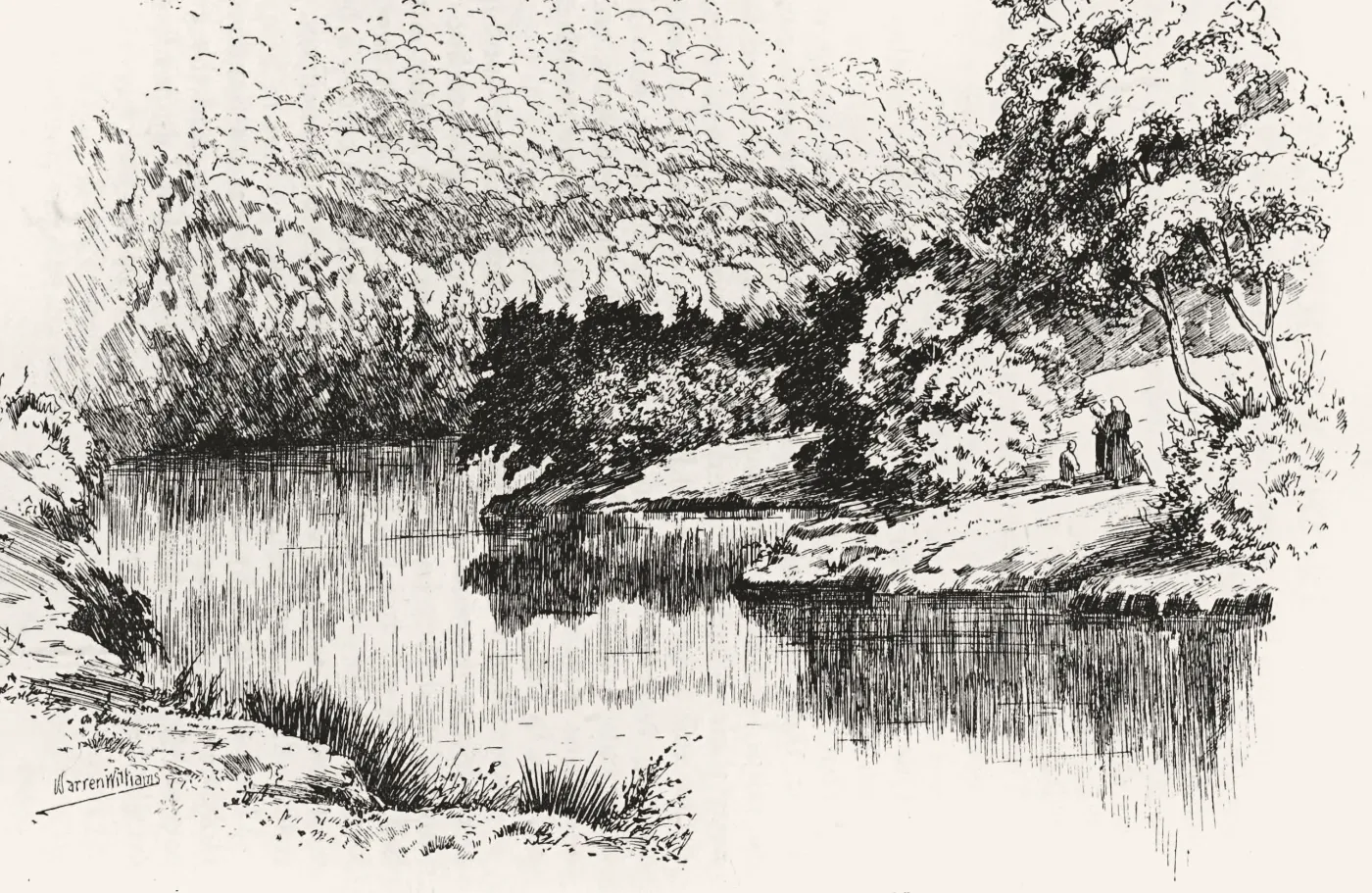
River levels: Natural Resources Wales gauges at Tafalog, Grosmont, Skenfrith, Monnow Gate, Monmouth, Redbrook and Newport. Contains Natural Resources Wales information © Natural Resources Wales and Database Right. All rights reserved. Peterchurch gauge: this uses Environment Agency flood and river level data from the real-time data API (Beta). Both are used under the Open Government Licence v3.0. Drawing: The Monnow in the Darren Glen by Warren Williams, 1899; see our Skenfrith history page.